Bayou Terre Au Boeufs and Reggio Data Collection
August 2022 | To form an accurate hydrologic model of the water flow through Bayou Terre Aux Boeufs
To form an accurate hydrologic model of the water flow through Bayou Terre Aux Boeufs and the Reggio Canal, Chustz Surveying (Chustz) was contracted by the Coastal Protection and Restoration Authority (CPRA) to collect flow and water level data at multiple locations in the bayou and the surrounding waterways.
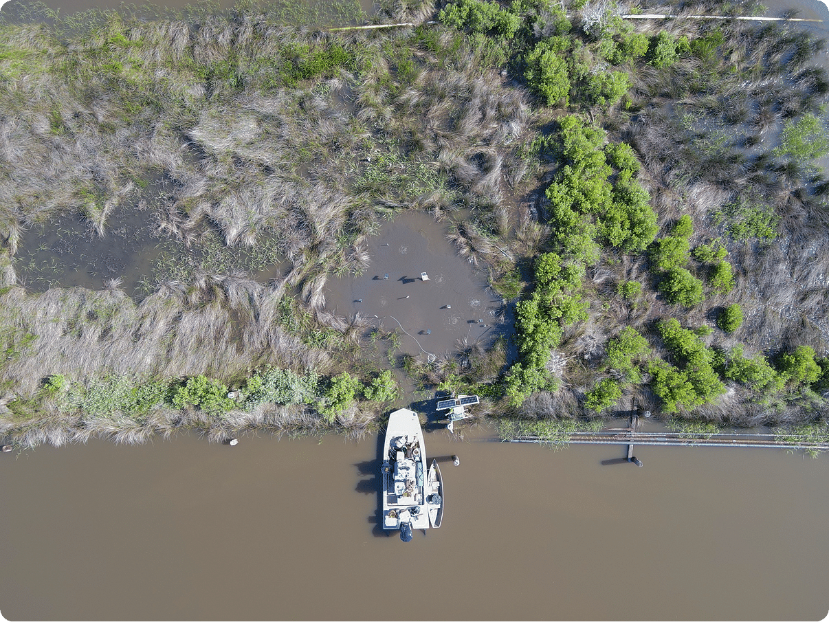
ENCOS, Inc. (ENCOS) was subcontracted by Chustz to install and maintain five Acoustic Doppler Current Profilers (ADCPs) in five locations in Bayou Terre Aux Boeufs, Reggio Canal, and connecting bayous on Bayou Terre Aux Boeufs. In addition to the ADCPs, five water level sondes, configured to measure depth, conductivity, and temperature, were installed. Three of the water level sondes were collocated with ADCPs and the others were installed in standalone structures. ENCOS designed and installed the data collection platforms (DCPs), consisting of a unipole with a stop plate attached. This allowed the structure to penetrate the ground to a known depth and provide a stable platform to install the instruments. The DCPs were then surveyed by Chustz and using the survey data and the known heights of the DCPs above the instruments, ENCOS was able to convert the depth data into water elevation data converted to North American Vertical Datum 1988 (NAVD 88). After one month, ENCOS returned to the area to remove two ADCPs and one water level sonde, per instruction from CPRA. The instruments were downloaded, and the data was processed and delivered to Chustz. The instruments and DCPs were removed after two months, and the final dataset was provided to the client.
ENCOS used bathymetric data provided by Chustz to create a channel cross section for each ADCP location. The ADCP data was processed using the cross section to provide flow at each ADCP site. All collected water level data were adjusted to NAVD 88.