Williams LEG Pipeline Wetland Delineations
ENCOS was a subcontractor of Powers Engineers and assisted with logistics, equipment, and field personnel for ecological services required for the proposed Williams LEG Pipeline Project.
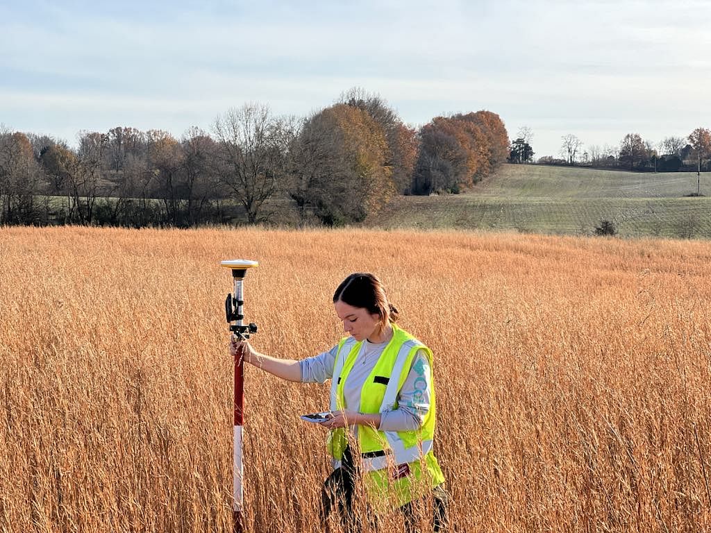
ENCOS was a subcontractor of Powers Engineers and assisted with logistics, equipment, and field personnel for ecological services required for the proposed Williams LEG Pipeline Project. The purpose of this project was to evaluate the extent of potential project impacts to potentially jurisdictional waters of the United States, including wetlands. ENCOS personnel provided field support along an approximately 165-mile proposed pipeline route stretching across Beauregard, Calcasieu, Caddo, DeSoto, Sabine, and Vernon Parishes in Louisiana. The wetland and waterbody delineations were conducted in accordance with the USACE 1987 Wetland Delineation Manual and Atlantic and Gulf Coast Regional Supplemental Manual and Guidance. Wetland boundaries and ordinary high water mark boundaries of waterbodies were recorded using sub-meter real-time differentially corrected Global Positioning System (GPS) technology.
Simultaneous with the wetland delineation, an ENCOS scientist conducted Threatened and Endangered species habitat surveys of the proposed project area, based on the Federal and State listed species for the proposed areas. The field evaluation documented existing environmental conditions used in subsequent discussions with agencies regarding rare and sensitive species.