ENCOS
WETLAND DELINEATIONS & ASSESSMENTS
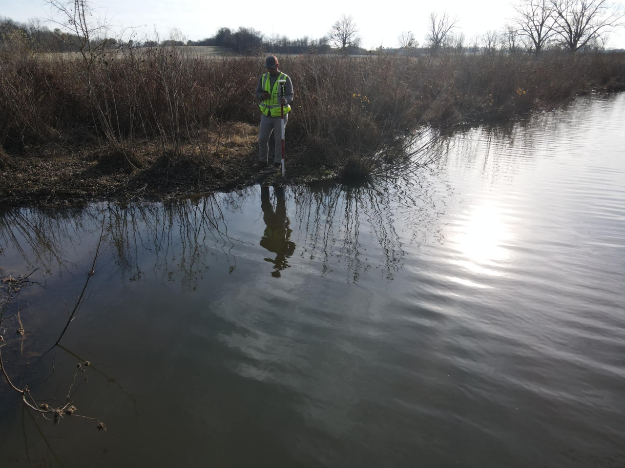
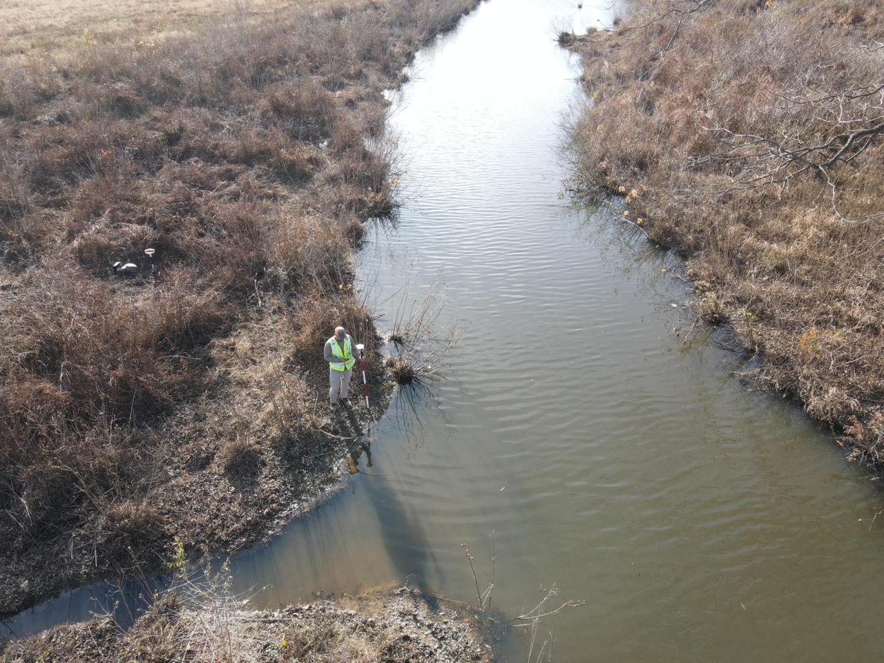
Our team utilizes detailed field assessments, soil profiling, hydrology indicators, and vegetation to identify and map jurisdictional wetlands.
All data is collected with GPS-enabled mapping tools (with submeter accuracy) and documented in regulatory-ready reports to support permit applications, land development planning, and ecological assessments.


ENCOS
Wetland Delineations & Assessments
Expertise & Capabilities
Regulatory Compliance
ENCOS conducts wetland delineations in strict accordance with federal, state, and local regulatory requirements.
Field Surveys & Mapping
Utilization of GIS and remote sensing technology to map wetland boundaries and hydrologic features.
Ecological Assessments
We simultaneously conduct Threatened and Endangered species habitat surveys.
ENCOS
PROJECTS
REPRESENTATIVE PROJECTS
In August 2015 ENCOS, Inc. (ENCOS) was contracted by Morgan City Harbor and Terminal District (MCHTD) for the installation of two met-ocean measurement systems at the Eugene Island Bar Channel on the lower Atchafalaya River
ENCOS was contracted by Louisiana Department of Wildlife and Fisheries to conduct dive sampling on four oyster brood reefs;
ENCOS
CLIENTS
Our Clients and Relationships


