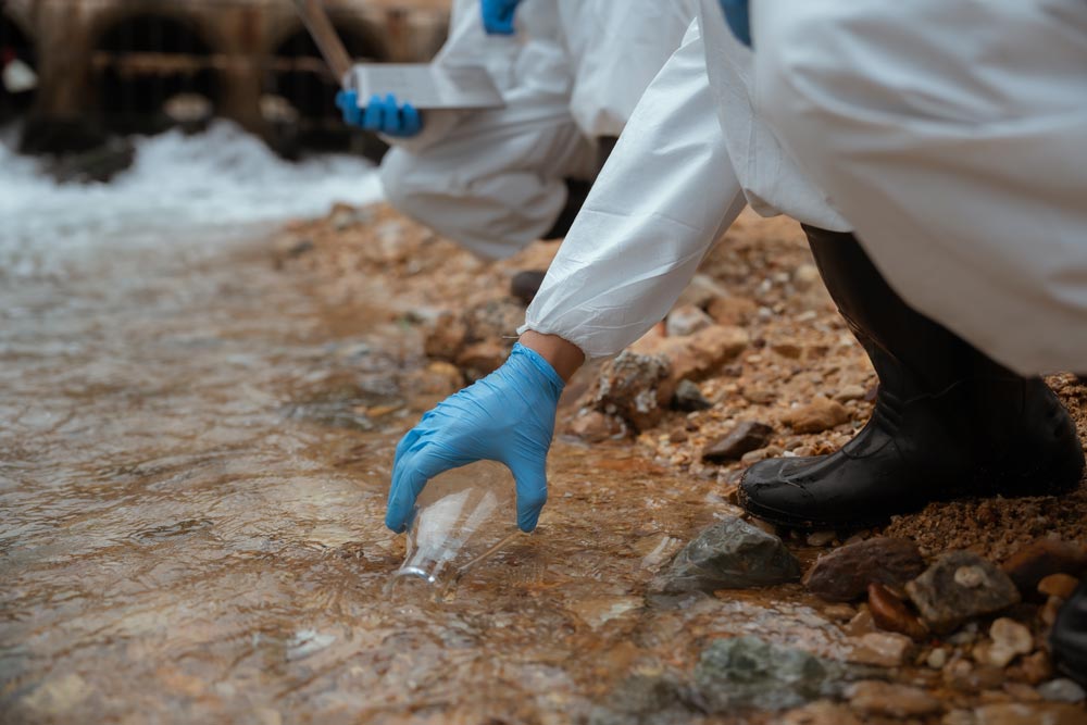
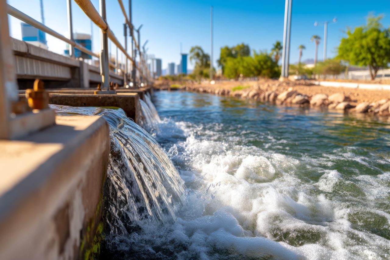
How Fenceline Monitoring Measures Air Quality Around Industrial Facilities

How Fenceline Monitoring Measures Air Quality Around Industrial Facilities

Air quality monitoring plays an important role in understanding how industrial activity interacts with the surrounding environment. Industrial facilities operate complex systems that involve chemical processes, manufacturing activities, and energy production. These operations often occur near communities, waterways, and transportation corridors. Monitoring technologies help track environmental conditions at the boundaries where these activities meet the...

How Fenceline Monitoring Measures Air Quality Around Industrial Facilities

How Fenceline Monitoring Measures Air Quality Around Industrial Facilities

Air quality monitoring plays an important role in understanding how industrial activity interacts with the surrounding environment. Industrial facilities operate complex systems that involve chemical processes, manufacturing activities, and energy production. These operations often occur near communities, waterways, and transportation corridors. Monitoring technologies help track environmental conditions at the boundaries where these activities meet the...

Why Current and Wave Monitoring Matters in Coastal Engineering

Why Current and Wave Monitoring Matters in Coastal Engineering

Coastal environments are constantly in motion. Water never stays still for very long along a shoreline. Waves roll in from offshore, currents move water through channels and marshes, and tides shift water levels throughout the day. These forces quietly shape coastlines over time. For engineers working on coastal infrastructure and restoration projects, understanding how water...

The Science of Current Flow Monitoring: What Water Movement Reveals About Habitat Change
A serene view of an overflowing reservoir with water flowing beyond its capacity, showcasing nature and engineering amidst an urban backdrop.

The Science of Current Flow Monitoring: What Water Movement Reveals About Habitat Change

In Louisiana, water is not just scenery. It is structure. It shapes coastlines, defines habitats, influences economies, and determines the future of entire ecosystems. After years working in environmental and coastal services, one consistent truth stands out: if the movement of water is understood, the story of the habitat becomes clearer. Current flow monitoring is...

Water Quality Monitoring 101: What Parameters Say About Ecosystem Health

Water Quality Monitoring 101: What Parameters Say About Ecosystem Health

Water rarely tells its story at a glance. A river may appear calm and clear while underlying chemistry signals stress. A marsh may look vibrant while dissolved oxygen levels fluctuate beneath the surface. Water quality monitoring exists to interpret those hidden signals and translate them into measurable data that reflects ecosystem health. Across Louisiana’s rivers,...

Hydrographic Equipment Rentals: What Tools Professionals Use to Map Water and Terrain

Hydrographic Equipment Rentals: What Tools Professionals Use to Map Water and Terrain

Hydrographic surveying has a reputation for sounding mysterious, but the work itself is very practical. It’s about understanding what exists below the waterline and how that environment behaves. Rivers, lakes, wetlands, ports, and coastal zones all change constantly, and decisions about navigation, construction, restoration, and safety depend on accurate data. The tools used to collect...

The Value of Reliable Data in Coastal and Waterway Management
ENCOS Environmental & Coastal Services

The Value of Reliable Data in Coastal and Waterway Management

Working in coastal and waterway environments makes one thing very clear very quickly: assumptions don’t last long. Conditions shift. Water moves. Sediment settles where it wasn’t yesterday. What looked stable last season may behave very differently today. In this field, reliable data isn’t a convenience. It’s the foundation for every responsible decision that follows. Coastal...