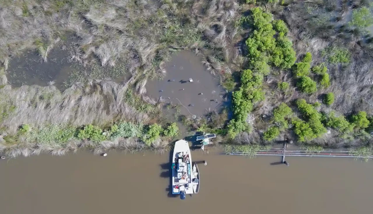
Working in coastal and environmental services makes one thing very clear very quickly… coastlines are not static. They move, adapt, retreat, and rebuild in ways that are often invisible until the effects become impossible to ignore. By the time erosion, flooding, or habitat loss is obvious to the naked eye, the underlying processes have usually...
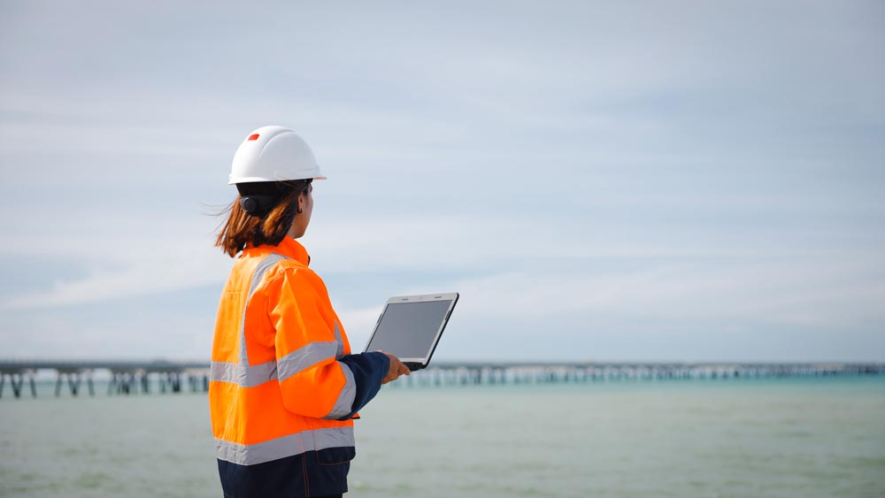
The Value of Reliable Data in Coastal and Waterway Management
Working in coastal and waterway environments makes one thing very clear very quickly: assumptions don’t last long. Conditions shift. Water moves. Sediment settles where it wasn’t yesterday. What looked stable last season may behave very differently today. In this field, reliable data isn’t a convenience. It’s the foundation for every responsible decision that follows. Coastal...
Understanding Moving Water: Why ADCP Data Matters in Coastal and Riverine Work
Water is never still, even when it appears calm on the surface. Beneath that surface, complex layers of movement shape shorelines, influence ecosystems, and determine how infrastructure performs over time. After decades of working in coastal and riverine environments across Louisiana and the Gulf Coast, one lesson remains constant: meaningful decisions begin with accurate flow...
St. Mary Levee District and MET System
ENCOS was contracted by the St. Mary Levee district to install wind sensors and rain gauges on two floodgates in St. Mary Parish, one on Bayou Teche and one on Bayou Chene.
System-Wide Assessment and Monitoring Program (SWAMP)
The System Wide Assessment and Monitoring Program (SWAMP) was incorporated by the Coastal Protection and Restoration Authority (CPRA) as a means of long-term monitoring to meet the needs of the state’s coastal protection and restoration plans.
Installation and Maintenance of Real-Time Physical Oceanographic Measurement Stations for the Port of Morgan City
In August 2015 ENCOS, Inc. (ENCOS) was contracted by Morgan City Harbor and Terminal District (MCHTD) for the installation of two met-ocean measurement systems at the Eugene Island Bar Channel on the lower Atchafalaya River
Central Stream Gauging Network
ENCOS was contracted by the City of Central for the development of a Stream Gauge Network System.
No Name Bayou Water Bottom Assessment
In June of 2022, ENCOS was contracted by the Office of Coastal Protection and Restoration Authority of Louisiana (CPRA) with Freese and Nichols, Inc. to conduct a water bottom assessment located in public seed grounds in Calcasieu Lake.
Black Bay Current and Wave Data Collection
ENCOS was contracted by Freese and Nichols to provide water level, wave, and current data near Mozambique Point in Plaquemines Parish, Louisiana.
ADCP Installation on the GIWW
June 2023–Present | ENCOS was contracted by T Baker Smith in the construction and installation of three data